10 Sep Interview with Anagha Uppal on Working with the American Red Cross
September 10, 2020
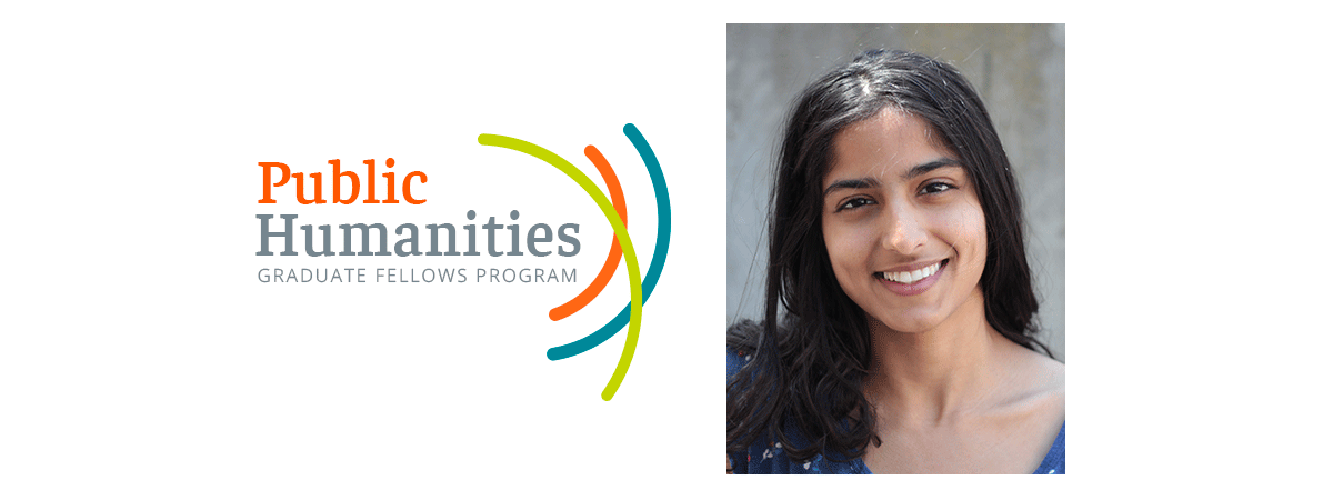
Anagha Uppal is a second-year graduate student in the Department of Geography’s Space and Time for Knowledge Organization (STKO) lab. She is interested in using agent-based modeling to model social phenomena. As an IHC Public Humanities Graduate Fellow, Uppal recently completed a fellow-designed community project with the American Red Cross.
What sparked your interest in working with the American Red Cross for the practicum component of the Public Humanities Graduate Fellows program?
When the wildfires hit Southern California in 2017, I felt paralyzed. The disaster was threatening to overtake not only my home, but those of hundreds of people in my community. Never before had an environmental disaster roared so closely to me, and rarely had I felt so helpless. Had someone close to me been injured, there wasn’t a thing I could do to help them.
A few months later, I began taking the First Aid, CPR and AED training class at the Red Cross Santa Barbara office. Toward the end of the course, the instructor shared how each of us could continue to be involved with the Red Cross and assist with small- and medium-sized disasters as volunteer caseworkers and shelter workers, or even be deployed to other regions when support was needed. I decided to become trained as a volunteer, and after several months of volunteering, I met Kurt Russell, who heads up Disaster Program Management for Santa Barbara County. I was introduced to casework and dispatch and became the primary on-call dispatcher for Santa Barbara and San Luis Obispo counties. I came to learn that GIS (Geographic Information Systems), which had initially sparked my interest in my graduate program, was increasingly used for Red Cross disaster planning and response. The intersection between my academic knowledge and the organization’s needs was clear, and I began to support the chapter with mapmaking and planning.
However, it quickly became obvious through this effort that employees and volunteers who would hypothetically use this technology for disaster response were not trained to use it when it was needed. When Kurt suggested that we produce a standard of procedures and training document to rectify that problem, I decided to apply for the fellow-designed community project to be able to do this.
What project were you working on?
Around the time I began supporting the Red Cross’ work, at the Santa Barbara chapter a few employees in the Information and Planning department had started creating an interface over ArcGIS Online, a mapping and analysis software, specific to the organization to address their planning requirements. Though this tool has been fully rolled out, it is hard for those unfamiliar with the ArcGIS interface or with mapping terms to pick up these tools and use them right out of the box. Any product is only useful to the extent that it can be understood and adopted by Red Cross affiliates.
I was assigned two tasks in interfacing between the tool’s originators and the employees and volunteers who will be its final users. First, I simplified and streamlined the tasks involved with the creation, visualization, analysis and access of these maps. Second, I produced a Standard Operating Procedure (SOP) manual guiding a new user through the interface to do anything from viewing the current status to using data collection apps to creating new maps and dashboards. This will replace a section of the current SOP that standardizes a uniform set of procedures and expectations in the event of a disaster.
How will this GIS technology assist in the organization’s disaster response efforts?
When a large scale disaster occurs, a delicate combination of manpower, organization and resources need to be activated at once and optimized to reach the most areas or people in the least amount of time. Much of this decision-making is conducted by experienced disaster program managers, who understand how to direct resources in their area. If they are absent, or are simply pulled in too many directions, that system, hinged on these veteran responders, can grind to a halt. In this case, we should be able to rely on a digital system that can help anyone in the Red Cross understand how, where and when support should be provided, to maximize output and minimize time. Such a system would not attempt to replace the collective memory and knowledge of an experienced human; rather, it would act as a data storage/access mechanism and visual decision-making tool, to assist service delivery volunteers in choosing the actions they take.
For instance, historically, individual responders record data as they work on nearby pieces of paper. They relay this information by calling the main office or the program manager, who might note it down on another paper and suggest the next action, but pieces of paper are easily lost or ruined. When counting people entering a shelter, responders might use a physical counter machine, but these devices are subject to disrepair and face the same trouble with sharing data. An integrated, centralized digital system to store information on the cloud revolutionizes the picture. Now, no data is lost in transit and anyone can access and use what they need real time.
We can also use the technology to determine where food supplies might be most needed. We can combine CDC data on the number of households below poverty level in each block, census data on total population, data on applications for FEMA individual assistance, detailed home disaster assessments indicating damage and call center food requests, and then overlay this information on a disaster grid. The visualized result can easily present the necessary information about the need. Now we can prioritize where to go, print those maps for the field, as well as monitor current requests.
Our standards and references for using GIS in the Red Cross are being finalized for the chapter, after which they are to be recommended for consideration for the region. These standards should help make these digital tools become a part of a Red Crosser’s day-to-day work.
You are in the Department of Geography; how has this project overlapped with your research interests and academic training?
At the Red Cross, I used three skills for the region’s needs – documentation, mapping and automation. These three are essential to the academic training and research projects I’m involved in. I use spatial analysis and visualization to understand human phenomena, for which human action in response to natural phenomena (disasters) is a natural extension. Straightforward analysis just isn’t sufficient anymore now that researchers recognize the need for reuse and updates across time. So I try to enable automation and reuse of my work, so that the work can be easy to understand and apply. Automation gives us the power to transfer our work to others following us. Finally, good documentation is one of the most difficult tasks, and parallels writing an academic publication or report or sharing our work as a presentation.
Tell us about your experience in joining and participating in the Public Humanities Graduate Fellows program.
I had not yet heard about the Public Humanities program when I saw the list of two courses required for it. This was my first attraction – during college, I had read part of Education’s End, a text by Anthony Kronman railing against political correctness as a barrier to honest debate in the American education system, but more broadly, the fall of the status of the humanities over time. It would be wonderful, I thought, to take a course to better understand this change and its resulting impact.
I learned that the History and Theory of Public Humanities course was associated with the Fellows program and attended an information session. The critical thoughtfulness, the discursive dexterity, the breadth and openness by which the administrators facilitated the session blew me away. I had been hesitant in my application – would someone from the social sciences (geography) be considered a part of the public humanities, if that individual hoped to serve the public? The inclusivity was gratifying.
The courses were far more beneficial than I expected. Through my final project in the Skills for the Public Sphere course, I came to know researchers working for Animal Charity Evaluators (ACE), a nonprofit I had long admired, and I then interned with the organization. My work there and with the Red Cross through this project have really enabled me to practice applying my skills.
How might you continue your engagement with community organizations as you move forward in your academic career?
In the fall, I plan to continue my engagement with Animal Charity Evaluators as a GSR and academic collaborator. We want to produce country profiles to help us more fully and systematically understand the local contexts in which the charities ACE evaluates operate. I also work with The Nature Conservancy and California EPA, where I try to bring attention to the need for disaster response and mitigation within the practice of energy planning, a factor I came to recognize more thoroughly from the Red Cross.
Click here to learn more about IHC Public Humanities Graduate Fellows Program